| Item Detail |
| |
| |
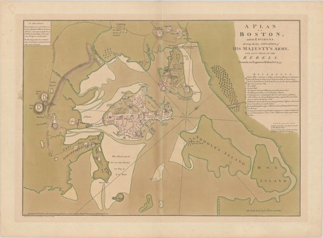
MapMaker: |
Andrew Dury
|
|
| |
| |
Subject: |
Boston, Massachusetts |
|
| |
Period/Size: |
1776 / 18.0" x 25.4" (45.8 x 64.6 cm)
|
|
| |
Color: |
Colored
|
|
| |
Condition: |
(B+) Full contemporary color on a sturdy sheet with the watermark of a fleur-de-lys in crowned shield with the letters "G R" below and countermark "WF." There is light toning that is a bit more pronounced along the centerfold and short centerfold separat (condition help) |
|
| |
Source: |
|
|
| |
References: |
Nebenzahl (Biblio of Amer. Rev.) #16; Nebenzahl (Atlas of Amer. Rev.) pp. 48-50. |
|
| |
|
|
| Sales Information |
| |
| |
Price: |
|
|
| |
| |
Offered by: |
Old World Auctions |
|
| |
Catalog: |
Auction No. 181 - Antique Maps, Charts, Atlases & Globes (9527) |
|
| |
Lot/Item #: |
260 |
|
| |
| |
Date: |
02/2021
|
|
| |
| |
|