| Item Detail |
| |
| |
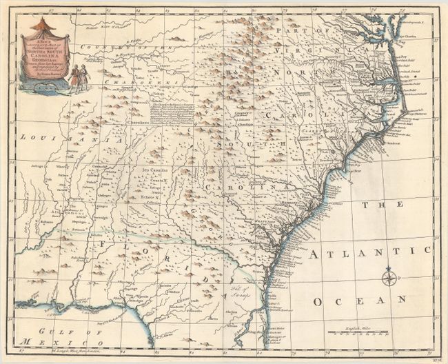
MapMaker: |
Emanuel Bowen
|
|
| |
| |
Subject: |
Colonial Southeast United States |
|
| |
Period/Size: |
1747 / 13.7" x 16.8" (34.8 x 42.7 cm)
|
|
| |
Color: |
Colored
|
|
| |
Condition: |
(A) A nice impression on a clean sheet with a 1" edge tear at top that has been professionally repaired on verso. (condition help) |
|
| |
Source: |
A Complete System of Geography |
|
| |
References: |
McCorkle (18th C. Geog. Books) #17-29 (Vol II); Cumming (SE) #263; Sellers & Van Ee #1380. |
|
| |
|
|
| Sales Information |
| |
| |
Price: |
|
|
| |
| |
Offered by: |
Old World Auctions |
|
| |
Catalog: |
Auction No. 181 - Antique Maps, Charts, Atlases & Globes (9527) |
|
| |
Lot/Item #: |
165 |
|
| |
| |
Date: |
02/2021
|
|
| |
| |
|