| Item Detail |
| |
| |
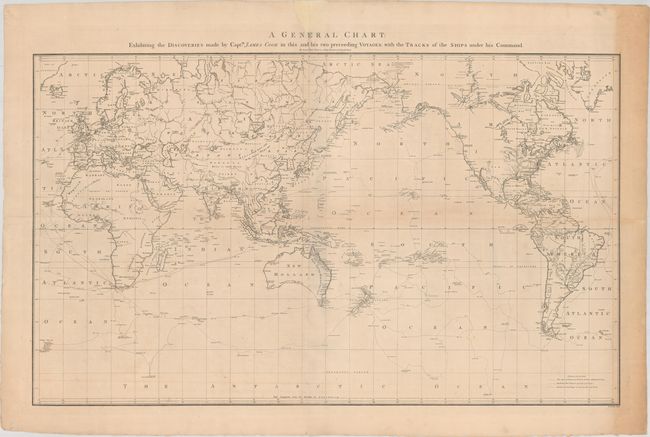
MapMaker: |
James Cook
|
|
| |
| |
Subject: |
World |
|
| |
Period/Size: |
1784 / 21.6" x 36.1" (54.9 x 91.7 cm)
|
|
| |
Color: |
Black & White
|
|
| |
Condition: |
(B) Issued folding on paper with a "J. Whatman" watermark. The folds are backed in archival tape to close a couple of long separations. There is some faint offsetting and light toning along the right sheet edge. A chip above the title has been replaced (condition help) |
|
| |
Source: |
A Voyage to the Pacific Ocean |
|
| |
References: |
Perry & Prescott #1784-4; Falk #1784-4; Wagner #699; Tooley, p. 46 #331. |
|
| |
|
|
| Sales Information |
| |
| |
Price: |
|
|
| |
| |
Offered by: |
Old World Auctions |
|
| |
Catalog: |
Auction No. 181 - Antique Maps, Charts, Atlases & Globes (9527) |
|
| |
Lot/Item #: |
14 |
|
| |
| |
Date: |
02/2021
|
|
| |
| |
|