Title:
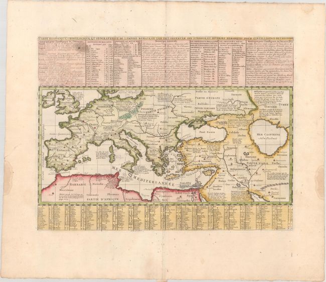
“Carte Historique, Cronologique, et Geographique de l'Empire Romain, ou l'on Fait Observer son Etendue, et Diverses Remarques pour l'Intelligence de l'Histoire”
Map Maker:
Henry Abraham Chatelain
Fine map showing the full extent of the Roman Empi... (full text available to subscribers)
| Item Detail |
| |
| |
MapMaker: |
Henry Abraham Chatelain
|
|
| |
| |
Subject: |
Europe & Middle East |
|
| |
Period/Size: |
1720 / 8.2" x 17.6" (20.9 x 44.7 cm)
|
|
| |
Color: |
Colored
|
|
| |
Condition: |
(A) A crisp impression on a bright sheet with an "IV" watermark, a small area of printer's ink residue in the text at top left, and dampstains confined to the far edges of the sheet. (condition help) |
|
| |
Source: |
Atlas Historique |
|
| |
References: |
|
|
| |
|
|
| Sales Information |
| |
| |
Price: |
|
|
| |
| |
Offered by: |
Old World Auctions |
|
| |
Catalog: |
Auction No. 181 - Antique Maps, Charts, Atlases & Globes (9527) |
|
| |
Lot/Item #: |
398 |
|
| |
| |
Date: |
02/2021
|
|
| |
| |
|
Antique Maps - Valuation and Pricing, Descriptions, Resources |
|
Home |
Information |
Search |
Register |
Contact Us |
Site Map
Americana Exchange, Inc. © 1999 - 2024 Americana Exchange, Inc.. All rights reserved.
OldMaps.com, the OldMaps.com logo and
AMPR are service marks or registered service marks of Americana Exchange, Inc..
|