| Item Detail |
| |
| |
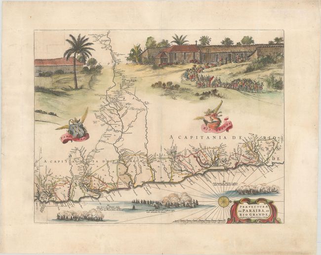
MapMaker: |
Blaeu/Covens & Mortier
|
|
| |
| |
Subject: |
Brazil |
|
| |
Period/Size: |
1720 / 16.3" x 20.9" (41.4 x 53.1 cm)
|
|
| |
Color: |
Colored
|
|
| |
Condition: |
(A) A sharp impression with contemporary color in the map and later color in the decorative elements, on a bright sheet with an "M" watermark. There are a few vertical printer's creases, marginal soiling, and archivally repaired centerfold separations at (condition help) |
|
| |
Source: |
|
|
| |
References: |
Goss (Blaeu) pp. 184-185; cf. Van der Krogt (Vol. II) #9850/4.2D; Whitehead (TMC-40) pp. 17-20. |
|
| |
|
|
| Sales Information |
| |
| |
Price: |
|
|
| |
| |
Offered by: |
Old World Auctions |
|
| |
Catalog: |
Auction No. 181 - Antique Maps, Charts, Atlases & Globes (9527) |
|
| |
Lot/Item #: |
360 |
|
| |
| |
Date: |
02/2021
|
|
| |
| |
|