| Item Detail |
| |
| |
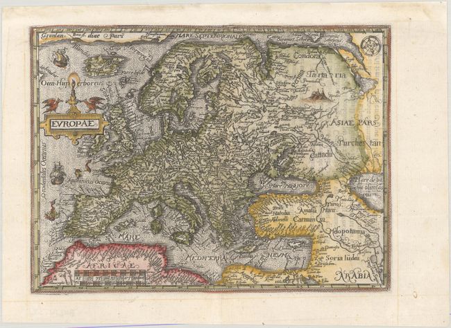
MapMaker: |
Ortelius/Galle
|
|
| |
| |
Subject: |
Europe |
|
| |
Period/Size: |
1579 / 6.3" x 8.4" (16.0 x 21.4 cm)
|
|
| |
Color: |
Colored
|
|
| |
Condition: |
(A) A crisp impression on a bright sheet with professional repairs to a few tiny worm tracks along the centerfold and in the bottom corners of the sheet. Remargined at top along the binding edge. (condition help) |
|
| |
Source: |
Le Miroir du Monde |
|
| |
References: |
King (2nd Ed.) pp. 60-61; Van der Krogt (Vol. III) #1000:331. |
|
| |
|
|
| Sales Information |
| |
| |
Price: |
|
|
| |
| |
Offered by: |
Old World Auctions |
|
| |
Catalog: |
Auction No. 181 - Antique Maps, Charts, Atlases & Globes (9527) |
|
| |
Lot/Item #: |
393 |
|
| |
| |
Date: |
02/2021
|
|
| |
| |
|