Title:
“A Topographical Dictionary of Great Britian and Ireland, Compiled from Local Information, and the Most Recent and Official Authorities”
Map Maker:
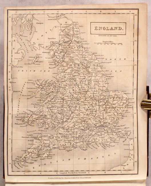
Sidney Hall
This attractive and complete three-volume set cont... (full text available to subscribers)
| Item Detail |
| |
| |
MapMaker: |
Sidney Hall
|
|
| |
| |
Subject: |
Books, Britain |
|
| |
Period/Size: |
1833 / 8.4" x 5.4" (21.4 x 13.8 cm)
|
|
| |
Color: |
Black & White
|
|
| |
Condition: |
(B+) The folding maps are good to mostly very good with light toning and light to moderate offsetting. Text is mostly clean and bright. Covers have light shelf wear with minor abrasions. (condition help) |
|
| |
Source: |
|
|
| |
References: |
|
|
| |
|
|
| Sales Information |
| |
| |
Price: |
|
|
| |
| |
Offered by: |
Old World Auctions |
|
| |
Catalog: |
Auction No. 182 - Antique Maps, Charts, Atlases & Globes (9528) |
|
| |
Lot/Item #: |
461 |
|
| |
| |
Date: |
04/2021
|
|
| |
| |
|
Antique Maps - Valuation and Pricing, Descriptions, Resources |
|
Home |
Information |
Search |
Register |
Contact Us |
Site Map
Americana Exchange, Inc. © 1999 - 2024 Americana Exchange, Inc.. All rights reserved.
OldMaps.com, the OldMaps.com logo and
AMPR are service marks or registered service marks of Americana Exchange, Inc..
|