| Item Detail |
| |
| |
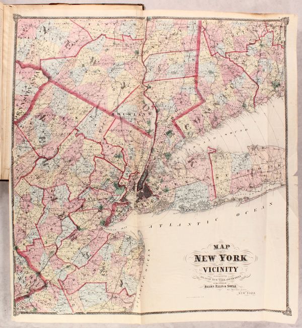
MapMaker: |
Beers, Ellis & Soule
|
|
| |
| |
Subject: |
New York City, New York |
|
| |
Period/Size: |
1867 / 18.0" x 15.0" (45.8 x 38.1 cm)
|
|
| |
Color: |
Colored
|
|
| |
Condition: |
(B) The maps are good to very good with light toning, surface soiling, and occasional scattered foxing. Several of the folding maps have old tape repairs to edge tears including New York City (4.5"), Westchester County (7.5"), Fishkill (6.5") and Yonkers (condition help) |
|
| |
Source: |
|
|
| |
References: |
cf. Phillips (Atlases) #2290. |
|
| |
|
|
| Sales Information |
| |
| |
Price: |
|
|
| |
| |
Offered by: |
Old World Auctions |
|
| |
Catalog: |
Auction No. 182 - Antique Maps, Charts, Atlases & Globes (9528) |
|
| |
Lot/Item #: |
299 |
|
| |
| |
Date: |
04/2021
|
|
| |
| |
|