Title:
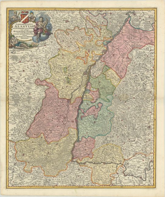
“Landgraviatus Alsatiae tam Superioris quam Inferi cum Utroque Marchionatu Badense ut et Tractu Herciniae Silvae ac Ditione Quatuor Urbium Silvestr”
Map Maker:
Johann Baptist Homann
This graphic map of the Alsace region dramatically... (full text available to subscribers)
| Item Detail |
| |
| |
MapMaker: |
Johann Baptist Homann
|
|
| |
| |
Subject: |
Northeastern France & Southwestern Germany, Rhine River |
|
| |
Period/Size: |
1720 / 22.8" x 19.0" (58.0 x 48.3 cm)
|
|
| |
Color: |
Colored
|
|
| |
Condition: |
(A) A nice impression on a bright sheet with minor marginal soiling. (condition help) |
|
| |
Source: |
|
|
| |
References: |
|
|
| |
|
|
| Sales Information |
| |
| |
Price: |
|
|
| |
| |
Offered by: |
Old World Auctions |
|
| |
Catalog: |
Auction No. 182 - Antique Maps, Charts, Atlases & Globes (9528) |
|
| |
Lot/Item #: |
501 |
|
| |
| |
Date: |
04/2021
|
|
| |
| |
|
Antique Maps - Valuation and Pricing, Descriptions, Resources |
|
Home |
Information |
Search |
Register |
Contact Us |
Site Map
Americana Exchange, Inc. © 1999 - 2024 Americana Exchange, Inc.. All rights reserved.
OldMaps.com, the OldMaps.com logo and
AMPR are service marks or registered service marks of Americana Exchange, Inc..
|