| Item Detail |
| |
| |
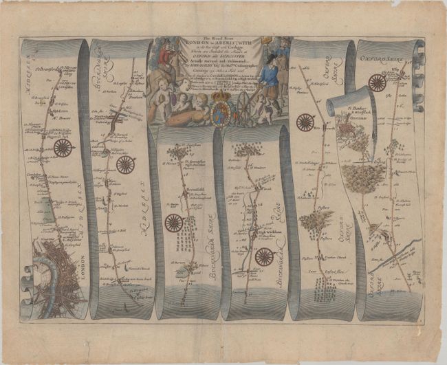
MapMaker: |
John Ogilby
|
|
| |
| |
Subject: |
Southeastern England |
|
| |
Period/Size: |
1675 / 12.2" x 17.0" (31.0 x 43.2 cm)
|
|
| |
Color: |
Colored
|
|
| |
Condition: |
(B+) There is light soiling, some extraneous creasing adjacent to the centerfold, and a few tears at bottom that have been closed on verso with archival material, including one that just enters into the map image. (condition help) |
|
| |
Source: |
Britannia |
|
| |
References: |
Shirley (BL Atlases) T.OGIL-4a #1. |
|
| |
|
|
| Sales Information |
| |
| |
Price: |
|
|
| |
| |
Offered by: |
Old World Auctions |
|
| |
Catalog: |
Auction No. 182 - Antique Maps, Charts, Atlases & Globes (9528) |
|
| |
Lot/Item #: |
465 |
|
| |
| |
Date: |
04/2021
|
|
| |
| |
|