Title:
“Atlas Geographique Contenant la Mappemonde et les Quatre Parties, avec les Differents Etats d'Europe”
Map Maker:
Giovanni Antonio Rizzi-Zannoni
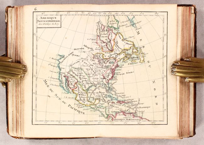
This handsome miniature atlas is nearly complete w... (full text available to subscribers)
| Item Detail |
| |
| |
MapMaker: |
Giovanni Antonio Rizzi-Zannoni
|
|
| |
| |
Subject: |
Atlases |
|
| |
Period/Size: |
1762 / 5.0" x 3.4" (12.7 x 8.7 cm)
|
|
| |
Color: |
Colored
|
|
| |
Condition: |
(B+) Very good with light dampstains along the upper centerfold and top margin of most maps. Rear endpaper is partially loose. Covers are lightly worn with bumped corners and the front board bowed. (condition help) |
|
| |
Source: |
|
|
| |
References: |
Shirley (BL Atlases) T.RIZ-1a. |
|
| |
|
|
| Sales Information |
| |
| |
Price: |
|
|
| |
| |
Offered by: |
Old World Auctions |
|
| |
Catalog: |
Auction No. 182 - Antique Maps, Charts, Atlases & Globes (9528) |
|
| |
Lot/Item #: |
794 |
|
| |
| |
Date: |
04/2021
|
|
| |
| |
|
Antique Maps - Valuation and Pricing, Descriptions, Resources |
|
Home |
Information |
Search |
Register |
Contact Us |
Site Map
Americana Exchange, Inc. © 1999 - 2024 Americana Exchange, Inc.. All rights reserved.
OldMaps.com, the OldMaps.com logo and
AMPR are service marks or registered service marks of Americana Exchange, Inc..
|