| Item Detail |
| |
| |
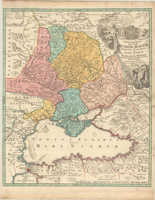
MapMaker: |
Johann Baptist Homann
|
|
| |
| |
Subject: |
Ukraine, Russia & Black Sea |
|
| |
Period/Size: |
1716 / 22.8" x 19.0" (58.0 x 48.3 cm)
|
|
| |
Color: |
Colored
|
|
| |
Condition: |
(A) A nice impression on a watermarked sheet with a narrow but adequate left side margin. The bottom margin has been extended with old paper. (condition help) |
|
| |
Source: |
Atlas Novus |
|
| |
References: |
Vavrychyn, Dashkevych & Kryshtalovych, Vol. II, p.132-33. |
|
| |
|
|
| Sales Information |
| |
| |
Price: |
|
|
| |
| |
Offered by: |
Old World Auctions |
|
| |
Catalog: |
Auction No. 182 - Antique Maps, Charts, Atlases & Globes (9528) |
|
| |
Lot/Item #: |
568 |
|
| |
| |
Date: |
04/2021
|
|
| |
| |
|