| Item Detail |
| |
| |
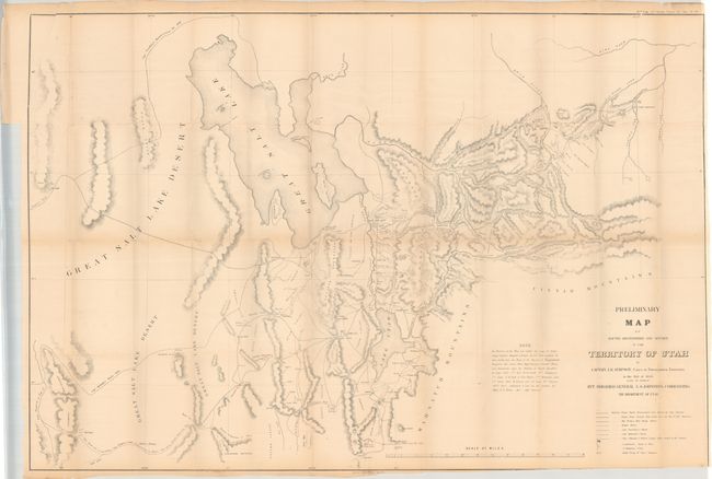
MapMaker: |
James Hervey Simpson
|
|
| |
| |
Subject: |
Utah |
|
| |
Period/Size: |
1858 / 30.0" x 44.1" (76.2 x 112.1 cm)
|
|
| |
Color: |
Black & White
|
|
| |
Condition: |
(B) Issued folding with a number of short splits at the fold junctions and a small binding tear confined to the top left blank margin. The map has been trimmed to just inside the border at bottom right. (condition help) |
|
| |
Source: |
Sen. Ex. Doc. 40, 35th Congress, 2nd Session |
|
| |
References: |
Wheat (TMW) #998. |
|
| |
|
|
| Sales Information |
| |
| |
Price: |
|
|
| |
| |
Offered by: |
Old World Auctions |
|
| |
Catalog: |
Auction No. 182 - Antique Maps, Charts, Atlases & Globes (9528) |
|
| |
Lot/Item #: |
334 |
|
| |
| |
Date: |
04/2021
|
|
| |
| |
|