| Item Detail |
| |
| |
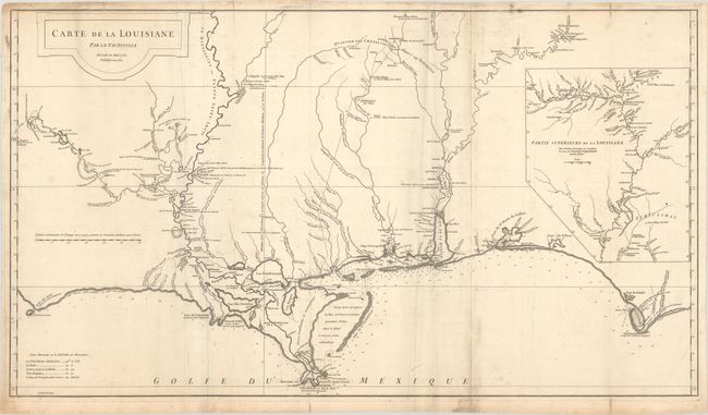
MapMaker: |
Jean Baptiste Bourguignon d'Anville
|
|
| |
| |
Subject: |
Colonial Gulf Coast |
|
| |
Period/Size: |
1752 / 20.4" x 36.3" (51.9 x 92.2 cm)
|
|
| |
Color: |
Black & White
|
|
| |
Condition: |
(B+) A nice impression on watermarked paper with some extraneous creasing adjacent to the folds and a few repaired edge tears along the top sheet edge. There is some light soiling, printer's ink residue, and minor foxing. (condition help) |
|
| |
Source: |
|
|
| |
References: |
Phillips (Atlases) #571-35; Lemmon, Magill & Wiese #24. |
|
| |
|
|
| Sales Information |
| |
| |
Price: |
|
|
| |
| |
Offered by: |
Old World Auctions |
|
| |
Catalog: |
Auction No. 182 - Antique Maps, Charts, Atlases & Globes (9528) |
|
| |
Lot/Item #: |
188 |
|
| |
| |
Date: |
04/2021
|
|
| |
| |
|