| Item Detail |
| |
| |
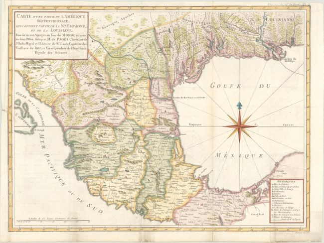
MapMaker: |
Pierre Marie Francois, Vicomte de Pages
|
|
| |
| |
Subject: |
Southwestern United States & Mexico |
|
| |
Period/Size: |
1782 / 12.7" x 16.9" (32.3 x 43.0 cm)
|
|
| |
Color: |
Colored
|
|
| |
Condition: |
(B+) Issued folding on a bright sheet with a "1782" watermark, few tiny holes at fold intersections, and two short fold separations at bottom that have been closed on verso with archival materials. There is light offsetting, minor soiling, and a 1" bindi (condition help) |
|
| |
Source: |
Voyage Autour du Monde, et Vers les Deux Polesģ |
|
| |
References: |
Howes #P13; Shirley (BL Atlases) G.PAGE-1a #2; Streeter (Texas) #1027. |
|
| |
|
|
| Sales Information |
| |
| |
Price: |
|
|
| |
| |
Offered by: |
Old World Auctions |
|
| |
Catalog: |
Auction No. 182 - Antique Maps, Charts, Atlases & Globes (9528) |
|
| |
Lot/Item #: |
360 |
|
| |
| |
Date: |
04/2021
|
|
| |
| |
|