| Item Detail |
| |
| |
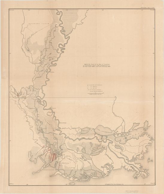
MapMaker: |
General Land Office
|
|
| |
| |
Subject: |
Southern Louisiana |
|
| |
Period/Size: |
1860 / 22.6" x 18.7" (57.4 x 47.5 cm)
|
|
| |
Color: |
Colored
|
|
| |
Condition: |
(B+) Issued folding, now flat, with archival reinforcement along the folds on verso. There is light toning and offsetting, and a binding trim in the left blank margin that has been replaced with old paper. (condition help) |
|
| |
Source: |
American State Papers |
|
| |
References: |
|
|
| |
|
|
| Sales Information |
| |
| |
Price: |
|
|
| |
| |
Offered by: |
Old World Auctions |
|
| |
Catalog: |
Auction No. 182 - Antique Maps, Charts, Atlases & Globes (9528) |
|
| |
Lot/Item #: |
276 |
|
| |
| |
Date: |
04/2021
|
|
| |
| |
|