| Item Detail |
| |
| |
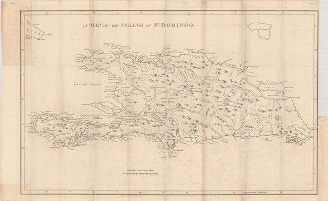
MapMaker: |
Bryan Edwards
|
|
| |
| |
Subject: |
Hispaniola |
|
| |
Period/Size: |
1806 / 18.0" x 28.8" (45.8 x 73.2 cm)
|
|
| |
Color: |
Black & White
|
|
| |
Condition: |
(B+) A crisp impression issued folding on a sheet with a "1794" watermark. There is light offsetting, scattered foxing, and some light toning along some of the folds. There is a 3.5" binding tear at right and some paper weakness in the left blank margin (condition help) |
|
| |
Source: |
The History, Civil and Commercial, of the British Colonies in the West Indies... |
|
| |
References: |
|
|
| |
|
|
| Sales Information |
| |
| |
Price: |
|
|
| |
| |
Offered by: |
Old World Auctions |
|
| |
Catalog: |
Auction No. 182 - Antique Maps, Charts, Atlases & Globes (9528) |
|
| |
Lot/Item #: |
397 |
|
| |
| |
Date: |
04/2021
|
|
| |
| |
|