| Item Detail |
| |
| |
MapMaker: |
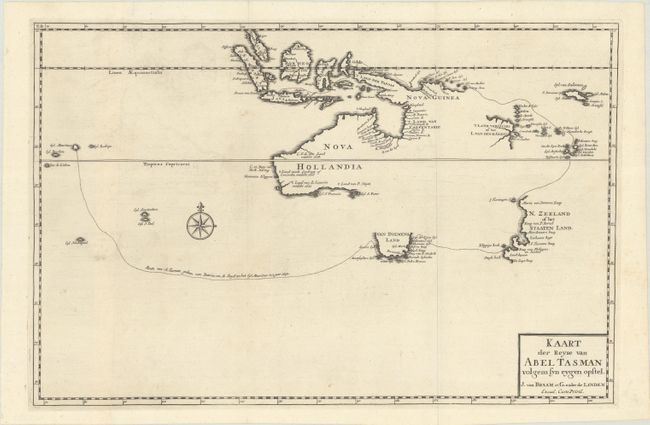
Francois Valentijn
|
|
| |
| |
Subject: |
South Pacific Ocean, Australia, & New Zealand |
|
| |
Period/Size: |
1726 / 11.9" x 18.1" (30.3 x 46.0 cm)
|
|
| |
Color: |
Black & White
|
|
| |
Condition: |
(A) A dark impression issued folding on a sheet with a fleur-de-lis watermark. There is faint offsetting and a few minor spots in unengraved areas. The joint is partially separated at bottom. (condition help) |
|
| |
Source: |
Oud en Nieuw Oost-Indien... |
|
| |
References: |
Shirley (BL Atlases) G.VALN-1a #17; Tooley (Australia) p. 212 #69. |
|
| |
|
|
| Sales Information |
| |
| |
Price: |
|
|
| |
| |
Offered by: |
Old World Auctions |
|
| |
Catalog: |
Auction No. 182 - Antique Maps, Charts, Atlases & Globes (9528) |
|
| |
Lot/Item #: |
743 |
|
| |
| |
Date: |
04/2021
|
|
| |
| |
|