Title:
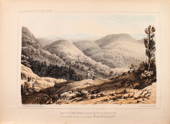
“Reports of Explorations and Surveys, to Ascertain the most Practicable and Economical Route for a Railroad from the Mississippi River to the Pacific Ocean, Volume II”
Map Maker:
U.S. Pacific Railroad Surveys
This is one of the most significant volumes of Pac... (full text available to subscribers)
| Item Detail |
| |
| |
MapMaker: |
U.S. Pacific Railroad Surveys
|
|
| |
| |
Subject: |
Railroad Surveys |
|
| |
Period/Size: |
1855 / 11.9" x 9.3" (30.3 x 23.7 cm)
|
|
| |
Color: |
Colored
|
|
| |
Condition: |
(B+) The folding map and geological section are near fine with a hint of toning along the sheet edges. Plates are good to very good with some toning, foxing, and occasional dampstains in the bottom corner of the color plates. One plate is loose. Text i (condition help) |
|
| |
Source: |
|
|
| |
References: |
|
|
| |
|
|
| Sales Information |
| |
| |
Price: |
|
|
| |
| |
Offered by: |
Old World Auctions |
|
| |
Catalog: |
Auction No. 182 - Antique Maps, Charts, Atlases & Globes (9528) |
|
| |
Lot/Item #: |
807 |
|
| |
| |
Date: |
04/2021
|
|
| |
| |
|
Antique Maps - Valuation and Pricing, Descriptions, Resources |
|
Home |
Information |
Search |
Register |
Contact Us |
Site Map
Americana Exchange, Inc. © 1999 - 2024 Americana Exchange, Inc.. All rights reserved.
OldMaps.com, the OldMaps.com logo and
AMPR are service marks or registered service marks of Americana Exchange, Inc..
|