| Item Detail |
| |
| |
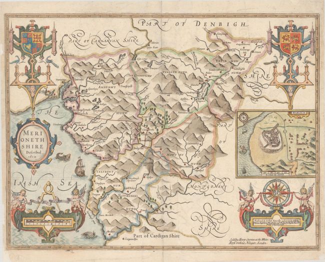
MapMaker: |
John Speed
|
|
| |
| |
Subject: |
Northern Wales |
|
| |
Period/Size: |
1713 / 15.0" x 19.9" (38.1 x 50.6 cm)
|
|
| |
Color: |
Colored
|
|
| |
Condition: |
(A) A nice impression on watermarked paper with very light offsetting. The map has been backed with archival tissue on verso to repair some small chips in the margins. (condition help) |
|
| |
Source: |
|
|
| |
References: |
cf. Shirley (BL Atlases) T.SPE-1l. |
|
| |
|
|
| Sales Information |
| |
| |
Price: |
|
|
| |
| |
Offered by: |
Old World Auctions |
|
| |
Catalog: |
Auction No. 182 - Antique Maps, Charts, Atlases & Globes (9528) |
|
| |
Lot/Item #: |
471 |
|
| |
| |
Date: |
04/2021
|
|
| |
| |
|