| Item Detail |
| |
| |
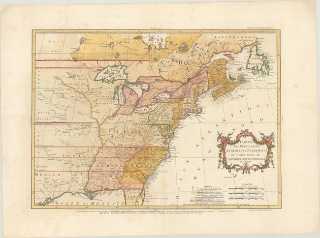
MapMaker: |
Jean Palairet
|
|
| |
| |
Subject: |
Colonial Eastern United States & Canada |
|
| |
Period/Size: |
1756 / 16.3" x 22.8" (41.4 x 58.0 cm)
|
|
| |
Color: |
Colored
|
|
| |
Condition: |
(B+) On watermarked paper with some faint staining. Several short edge tears confined to the blank margins have been closed on verso with archival tape. (condition help) |
|
| |
Source: |
Atlas Methodique... |
|
| |
References: |
McCorkle #755.22; Sellers and Van Ee #56; Shirley (BL Atlases) T.PAL-1a #14; Tooley (America), p. 62 #18-c. |
|
| |
|
|
| Sales Information |
| |
| |
Price: |
|
|
| |
| |
Offered by: |
Old World Auctions |
|
| |
Catalog: |
Auction No. 183 - Antique Maps, Charts, Atlases & Globes (9529) |
|
| |
Lot/Item #: |
86 |
|
| |
| |
Date: |
06/2021
|
|
| |
| |
|