| Item Detail |
| |
| |
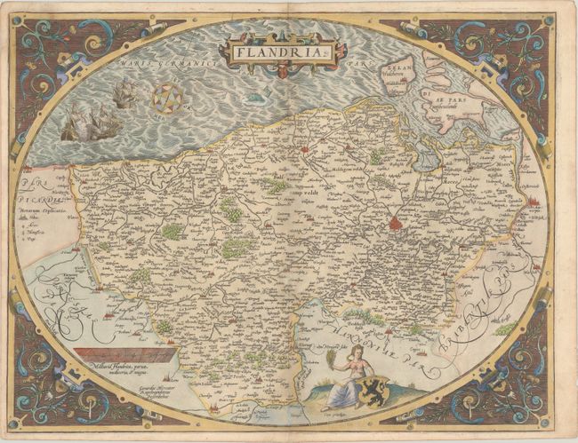
MapMaker: |
Abraham Ortelius
|
|
| |
| |
Subject: |
Western Belgium |
|
| |
Period/Size: |
1571 / 15.1" x 19.7" (38.4 x 50.1 cm)
|
|
| |
Color: |
Colored
|
|
| |
Condition: |
(B+) Gilt highlights on paper with the crossed arrows watermark commonly found on Ortelius maps. There is minor toning along the centerfold, light soiling, and an archivally repaired tear at top left. The margins are a bit narrow, as issued, but still a (condition help) |
|
| |
Source: |
Theatrum Orbis Terrarum |
|
| |
References: |
Van den Broecke #75. |
|
| |
|
|
| Sales Information |
| |
| |
Price: |
|
|
| |
| |
Offered by: |
Old World Auctions |
|
| |
Catalog: |
Auction No. 183 - Antique Maps, Charts, Atlases & Globes (9529) |
|
| |
Lot/Item #: |
366 |
|
| |
| |
Date: |
06/2021
|
|
| |
| |
|