Title:
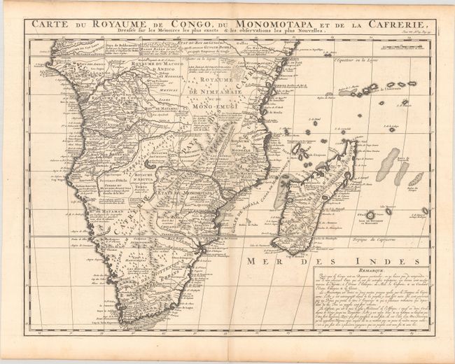
“Carte du Royaume de Congo, du Monomotapa et de la Cafrerie, Dressee sur les Memoires les Plus Exacts & les Observations les Plus Nouvelles”
Map Maker:
Henry Abraham Chatelain
This copper-engraved map is Chatelain's version of... (full text available to subscribers)
| Item Detail |
| |
| |
MapMaker: |
Henry Abraham Chatelain
|
|
| |
| |
Subject: |
Southern Africa & Madagascar |
|
| |
Period/Size: |
1720 / 15.9" x 20.6" (40.4 x 52.4 cm)
|
|
| |
Color: |
Black & White
|
|
| |
Condition: |
(B+) A dark impression on a bright sheet, issued folding with a hint of toning along the centerfold, minor offsetting, and light soiling. There is an archivally repaired centerfold separation at bottom. (condition help) |
|
| |
Source: |
Atlas Historique |
|
| |
References: |
|
|
| |
|
|
| Sales Information |
| |
| |
Price: |
|
|
| |
| |
Offered by: |
Old World Auctions |
|
| |
Catalog: |
Auction No. 183 - Antique Maps, Charts, Atlases & Globes (9529) |
|
| |
Lot/Item #: |
522 |
|
| |
| |
Date: |
06/2021
|
|
| |
| |
|
Antique Maps - Valuation and Pricing, Descriptions, Resources |
|
Home |
Information |
Search |
Register |
Contact Us |
Site Map
Americana Exchange, Inc. © 1999 - 2024 Americana Exchange, Inc.. All rights reserved.
OldMaps.com, the OldMaps.com logo and
AMPR are service marks or registered service marks of Americana Exchange, Inc..
|