| Item Detail |
| |
| |
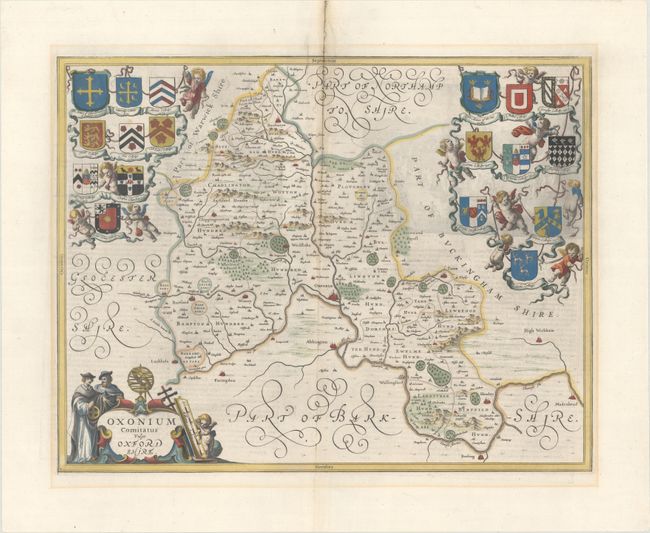
MapMaker: |
Jan Jansson
|
|
| |
| |
Subject: |
Oxford, England |
|
| |
Period/Size: |
1646 / 15.0" x 19.3" (38.1 x 49.1 cm)
|
|
| |
Color: |
Colored
|
|
| |
Condition: |
(A) A dark impression on a bright sheet with light printer's ink residue, a hint of toning along the centerfold, and professional repairs to several separations and a small hole along the centerfold at top. There is light mat burn outside of the image. (condition help) |
|
| |
Source: |
Atlas Novus |
|
| |
References: |
Van der Krogt (Vol. I) #5265:1:2. |
|
| |
|
|
| Sales Information |
| |
| |
Price: |
|
|
| |
| |
Offered by: |
Old World Auctions |
|
| |
Catalog: |
Auction No. 183 - Antique Maps, Charts, Atlases & Globes (9529) |
|
| |
Lot/Item #: |
330 |
|
| |
| |
Date: |
06/2021
|
|
| |
| |
|