| Item Detail |
| |
| |
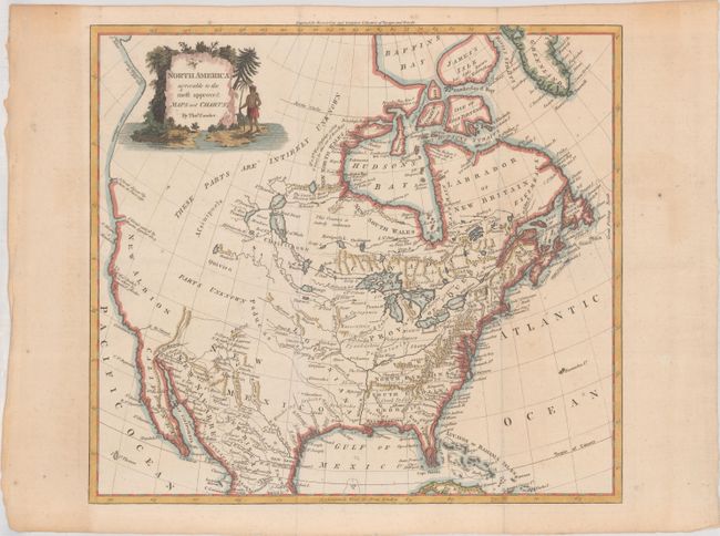
MapMaker: |
Thomas Conder
|
|
| |
| |
Subject: |
Colonial North America |
|
| |
Period/Size: |
1780 / 13.2" x 14.7" (33.6 x 37.4 cm)
|
|
| |
Color: |
Colored
|
|
| |
Condition: |
(B+) Issued folding with a few faint spots and a couple of tiny paper flaws only visible when held to light. There is light toning in the margins. (condition help) |
|
| |
Source: |
Moore's New and Compleat Collection of Voyages and Travels |
|
| |
References: |
Shirley (BL Atlases) G.MOOR-1a #7. |
|
| |
|
|
| Sales Information |
| |
| |
Price: |
|
|
| |
| |
Offered by: |
Old World Auctions |
|
| |
Catalog: |
Auction No. 183 - Antique Maps, Charts, Atlases & Globes (9529) |
|
| |
Lot/Item #: |
65 |
|
| |
| |
Date: |
06/2021
|
|
| |
| |
|