| Item Detail |
| |
| |
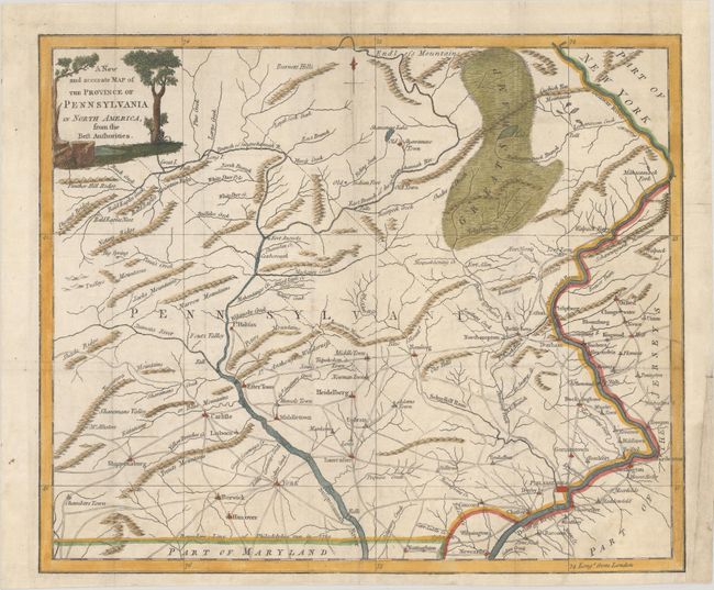
MapMaker: |
Anonymous
|
|
| |
| |
Subject: |
Pennsylvania |
|
| |
Period/Size: |
1780 / 10.7" x 12.8" (27.2 x 32.6 cm)
|
|
| |
Color: |
Colored
|
|
| |
Condition: |
(B+) Issued folding on paper with two medallion watermarks and some extraneous creasing, now flattened with very light soiling. There are archival repairs to a binding trim and 1" associated tear at right, as well as a couple additional tears have also b (condition help) |
|
| |
Source: |
Universal Magazine |
|
| |
References: |
Jolly #UNIV-185; Sellers & Van Ee #1298. |
|
| |
|
|
| Sales Information |
| |
| |
Price: |
|
|
| |
| |
Offered by: |
Old World Auctions |
|
| |
Catalog: |
Auction No. 183 - Antique Maps, Charts, Atlases & Globes (9529) |
|
| |
Lot/Item #: |
227 |
|
| |
| |
Date: |
06/2021
|
|
| |
| |
|