| Item Detail |
| |
| |
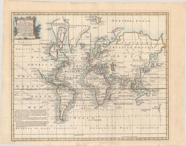
MapMaker: |
Emanuel Bowen
|
|
| |
| |
Subject: |
World |
|
| |
Period/Size: |
1744 / 14.3" x 17.4" (36.4 x 44.2 cm)
|
|
| |
Color: |
Colored
|
|
| |
Condition: |
(B+) Issued folding with a few faint spots, a printer's crease adjacent to the left fold, and faint mat burn. There are remnants of masking tape along the top and bottom sheet edges on verso. (condition help) |
|
| |
Source: |
|
|
| |
References: |
McCorkle (18th C. Geography Books) #17-1. |
|
| |
|
|
| Sales Information |
| |
| |
Price: |
|
|
| |
| |
Offered by: |
Old World Auctions |
|
| |
Catalog: |
Auction No. 183 - Antique Maps, Charts, Atlases & Globes (9529) |
|
| |
Lot/Item #: |
15 |
|
| |
| |
Date: |
06/2021
|
|
| |
| |
|