| Item Detail |
| |
| |
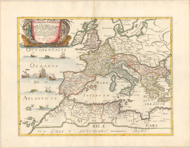
MapMaker: |
Sanson/Mariette
|
|
| |
| |
Subject: |
Europe, Roman Empire |
|
| |
Period/Size: |
1637 / 15.6" x 20.4" (39.7 x 51.9 cm)
|
|
| |
Color: |
Colored
|
|
| |
Condition: |
(A) A sharp impression with contemporary outline color and later color in the cartouche, on a bright sheet with a large coat of arms watermark. There are a few extraneous creases adjacent to the centerfold and minor marginal soiling. (condition help) |
|
| |
Source: |
|
|
| |
References: |
Pastoureau, SANSON V A [102]. |
|
| |
|
|
| Sales Information |
| |
| |
Price: |
|
|
| |
| |
Offered by: |
Old World Auctions |
|
| |
Catalog: |
Auction No. 183 - Antique Maps, Charts, Atlases & Globes (9529) |
|
| |
Lot/Item #: |
312 |
|
| |
| |
Date: |
06/2021
|
|
| |
| |
|