Title:
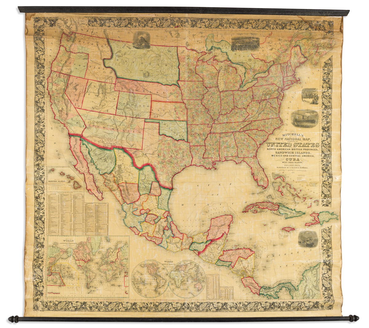
“Mitchell's New National Map, Exhibiting the United States with the North American British Provinces, Sandwich Islands, Mexico and Central America, Together with Cuba and Other West India Islands”
Map Maker:
Samuel Augustus Mitchell
(UNITED STATES -- WALL MAP.) Wellington Williams; ... (full text available to subscribers)
| Item Detail |
| |
| |
MapMaker: |
Samuel Augustus Mitchell
|
|
| |
| |
Subject: |
United States, Mexico & Central America |
|
| |
Period/Size: |
1862 / unknown
|
|
| |
Color: |
Colored
|
|
| |
Condition: |
(condition help) |
|
| |
Source: |
|
|
| |
References: |
|
|
| |
|
|
| Sales Information |
| |
| |
Price: |
|
|
| |
| |
Offered by: |
Swann Galleries Inc |
|
| |
Catalog: |
Sale 2591 December 2021 Maps and Atlases (9537) |
|
| |
Lot/Item #: |
225 |
|
| |
| |
Date: |
12/
|
|
| |
| |
|
Antique Maps - Valuation and Pricing, Descriptions, Resources |
|
Home |
Information |
Search |
Register |
Contact Us |
Site Map
Americana Exchange, Inc. © 1999 - 2024 Americana Exchange, Inc.. All rights reserved.
OldMaps.com, the OldMaps.com logo and
AMPR are service marks or registered service marks of Americana Exchange, Inc..
|