| Item Detail |
| |
| |
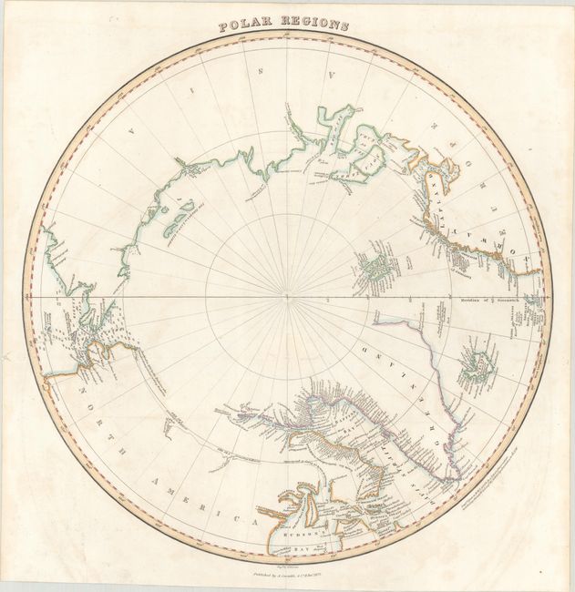
MapMaker: |
W.H., Lizars
|
|
| |
| |
Subject: |
North Pole |
|
| |
Period/Size: |
1822 / 15.0" x 14.9" (38.1 x 37.9 cm)
|
|
| |
Color: |
Colored
|
|
| |
Condition: |
(B+) Issued folding on paper with a "A. Cowan 1820" watermark. There is light scattered foxing and offsetting, a faint dampstain across the top edge of the sheet, and a 2" tear around the fold junction that has been closed on verso with old paper. (condition help) |
|
| |
Source: |
Lizars' Edinburgh Geographical General Atlas... |
|
| |
References: |
|
|
| |
|
|
| Sales Information |
| |
| |
Price: |
|
|
| |
| |
Offered by: |
Old World Auctions |
|
| |
Catalog: |
Auction No. 184 - Antique Maps, Charts, Atlases & Globes (9549) |
|
| |
Lot/Item #: |
50 |
|
| |
| |
Date: |
09/2021
|
|
| |
| |
|