| Item Detail |
| |
| |
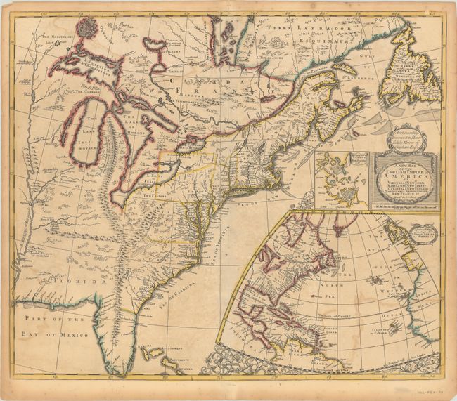
MapMaker: |
John Senex
|
|
| |
| |
Subject: |
Colonial Eastern United States & Canada |
|
| |
Period/Size: |
1719 / 19.7" x 23.1" (50.1 x 58.7 cm)
|
|
| |
Color: |
Colored
|
|
| |
Condition: |
(B) A crisp impression with contemporary outline color on a sheet with a fleur-de-lis watermark. There is moderate, slightly uneven toning, some color offsetting, and a minor crease at top left. There are archival repairs to a centerfold separation that (condition help) |
|
| |
Source: |
|
|
| |
References: |
Burden #750; Cumming (SE) #172; Kershaw #326; McCorkle #719.7; cf. Pritchard & Taliaferro #68; Stevens & Tree (MCC-39) #20b. |
|
| |
|
|
| Sales Information |
| |
| |
Price: |
|
|
| |
| |
Offered by: |
Old World Auctions |
|
| |
Catalog: |
Auction No. 184 - Antique Maps, Charts, Atlases & Globes (9549) |
|
| |
Lot/Item #: |
135 |
|
| |
| |
Date: |
09/2021
|
|
| |
| |
|