| Item Detail |
| |
| |
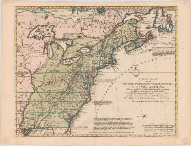
MapMaker: |
Isaac Tirion
|
|
| |
| |
Subject: |
Colonial Eastern United States & Canada |
|
| |
Period/Size: |
1755 / 14.3" x 17.7" (36.4 x 45.0 cm)
|
|
| |
Color: |
Colored
|
|
| |
Condition: |
(A) Full contemporary color on a sturdy sheet with a Strasburg Lily watermark, a hint of toning along the centerfold, and faint damp stains confined to the edge of the sheet. (condition help) |
|
| |
Source: |
|
|
| |
References: |
McCorkle #755.39 &769.1; Sellers and Van Ee #63. |
|
| |
|
|
| Sales Information |
| |
| |
Price: |
|
|
| |
| |
Offered by: |
Old World Auctions |
|
| |
Catalog: |
Auction No. 184 - Antique Maps, Charts, Atlases & Globes (9549) |
|
| |
Lot/Item #: |
138 |
|
| |
| |
Date: |
09/2021
|
|
| |
| |
|