| Item Detail |
| |
| |
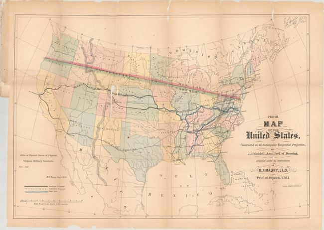
MapMaker: |
M.F. Maury
|
|
| |
| |
Subject: |
United States |
|
| |
Period/Size: |
1868 / 18.2" x 26.4" (46.3 x 67.1 cm)
|
|
| |
Color: |
Colored
|
|
| |
Condition: |
(B) Issued folding, now flattened, with a few spots of foxing. There are numerous fold separations that have been closed on verso with archival material, as well as small areas of loss along the folds, most notably just north of Colorado. Several short (condition help) |
|
| |
Source: |
Physical Survey of Virginia |
|
| |
References: |
|
|
| |
|
|
| Sales Information |
| |
| |
Price: |
|
|
| |
| |
Offered by: |
Old World Auctions |
|
| |
Catalog: |
Auction No. 184 - Antique Maps, Charts, Atlases & Globes (9549) |
|
| |
Lot/Item #: |
162 |
|
| |
| |
Date: |
09/2021
|
|
| |
| |
|