| Item Detail |
| |
| |
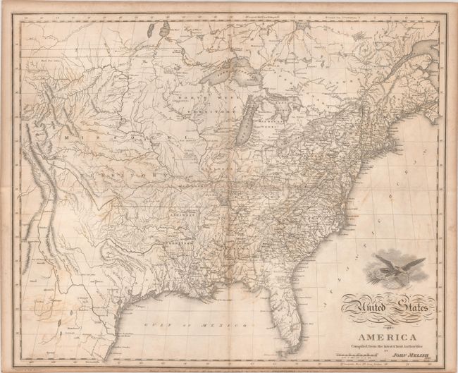
MapMaker: |
John Melish
|
|
| |
| |
Subject: |
Eastern United States |
|
| |
Period/Size: |
1822 / 15.9" x 19.5" (40.4 x 49.6 cm)
|
|
| |
Color: |
Black & White
|
|
| |
Condition: |
(B) Issued folding with light toning, soiling, and offsetting. A short separation and tear at the fold intersection, as well as a 1" separation at left have all been archivally repaired on verso. The imprint below the map has been partially trimmed by t (condition help) |
|
| |
Source: |
A Complete Genealogical Historical Chronological & Geographical Atlas |
|
| |
References: |
cf. Wheat (TMW) #327. |
|
| |
|
|
| Sales Information |
| |
| |
Price: |
|
|
| |
| |
Offered by: |
Old World Auctions |
|
| |
Catalog: |
Auction No. 184 - Antique Maps, Charts, Atlases & Globes (9549) |
|
| |
Lot/Item #: |
181 |
|
| |
| |
Date: |
09/2021
|
|
| |
| |
|