| Item Detail |
| |
| |
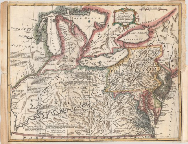
MapMaker: |
John Gibson
|
|
| |
| |
Subject: |
Colonial Northeastern United States, Great Lakes |
|
| |
Period/Size: |
1762 / 10.8" x 13.4" (27.5 x 34.1 cm)
|
|
| |
Color: |
Colored
|
|
| |
Condition: |
(B) A sharp impression, issued folding and now flattened on a sheet with a medallion watermark, some extraneous creasing along the folds, and light soiling that is more prominent in the left margin. There are archival repairs to several small holes along (condition help) |
|
| |
Source: |
American Gazetteer |
|
| |
References: |
McCorkle (18th C. Geography Books) #7 [3]; Phillips (America) p. 674. |
|
| |
|
|
| Sales Information |
| |
| |
Price: |
|
|
| |
| |
Offered by: |
Old World Auctions |
|
| |
Catalog: |
Auction No. 184 - Antique Maps, Charts, Atlases & Globes (9549) |
|
| |
Lot/Item #: |
190 |
|
| |
| |
Date: |
09/2021
|
|
| |
| |
|