| Item Detail |
| |
| |
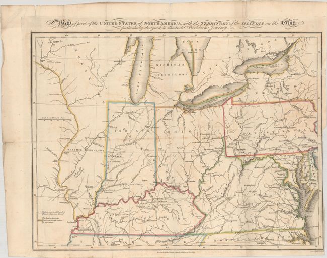
MapMaker: |
Neele & Son
|
|
| |
| |
Subject: |
Central & Mid-Atlantic United States |
|
| |
Period/Size: |
1818 / 12.1" x 16.2" (30.8 x 41.2 cm)
|
|
| |
Color: |
Colored
|
|
| |
Condition: |
(B) A nice impression, issued folding, with contemporary outline color on a sheet with a "C Cripps 1816" watermark and light soiling and offsetting. There are archival repairs to some tiny holes and separations along the folds, a 2" binding tear at right (condition help) |
|
| |
Source: |
Notes on a Journey in America... |
|
| |
References: |
Howes #B-468. |
|
| |
|
|
| Sales Information |
| |
| |
Price: |
|
|
| |
| |
Offered by: |
Old World Auctions |
|
| |
Catalog: |
Auction No. 184 - Antique Maps, Charts, Atlases & Globes (9549) |
|
| |
Lot/Item #: |
222 |
|
| |
| |
Date: |
09/2021
|
|
| |
| |
|