| Item Detail |
| |
| |
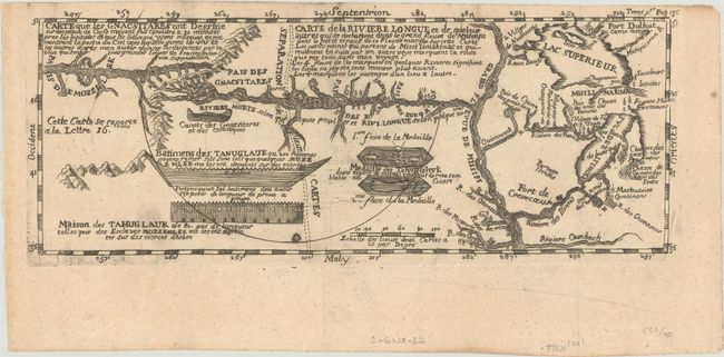
MapMaker: |
Baron Louis Armand de Lahontan
|
|
| |
| |
Subject: |
Colonial Upper Midwestern United States, River Longue |
|
| |
Period/Size: |
1703 / 4.5" x 11.8" (11.5 x 30.0 cm)
|
|
| |
Color: |
Black & White
|
|
| |
Condition: |
(A) A dark impression on a crisp sheet with a fleur-de-lis medallion watermark, minor marginal soiling, and a crease in the bottom blank margin. (condition help) |
|
| |
Source: |
Nouveaux Voyages de M. le Baron de Lahontan dans l'Amerique Septentrionale |
|
| |
References: |
Kershaw #299. |
|
| |
|
|
| Sales Information |
| |
| |
Price: |
|
|
| |
| |
Offered by: |
Old World Auctions |
|
| |
Catalog: |
Auction No. 184 - Antique Maps, Charts, Atlases & Globes (9549) |
|
| |
Lot/Item #: |
225 |
|
| |
| |
Date: |
09/2021
|
|
| |
| |
|