| Item Detail |
| |
| |
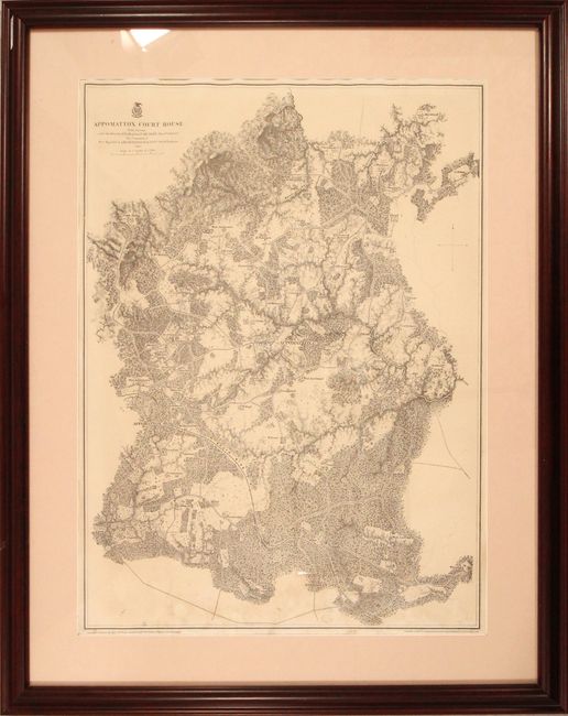
MapMaker: |
Andrew A. Humphreys
|
|
| |
| |
Subject: |
Appomattox, Virginia |
|
| |
Period/Size: |
1867 / 30.3" x 22.1" (77.0 x 56.2 cm)
|
|
| |
Color: |
Black & White
|
|
| |
Condition: |
(B+) A nice impression on a bright sheet with some light stains at bottom, an edge tear at bottom that enters about 1/2" into image, and a couple of pencil notations in the image. The map was not examined out of the frame. The white triangle near the to (condition help) |
|
| |
Source: |
|
|
| |
References: |
Rumsey #3881.014; Stephenson (Civil War) #525.3; Wooldridge #299. |
|
| |
|
|
| Sales Information |
| |
| |
Price: |
|
|
| |
| |
Offered by: |
Old World Auctions |
|
| |
Catalog: |
Auction No. 184 - Antique Maps, Charts, Atlases & Globes (9549) |
|
| |
Lot/Item #: |
352 |
|
| |
| |
Date: |
09/2021
|
|
| |
| |
|