| Item Detail |
| |
| |
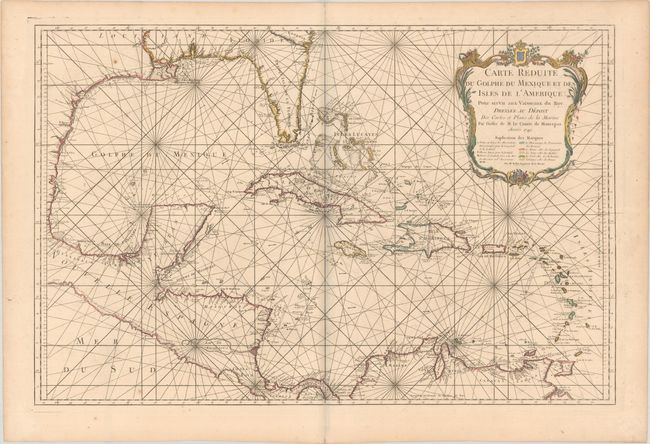
MapMaker: |
Jacques Nicolas Bellin
|
|
| |
| |
Subject: |
Gulf of Mexico & Caribbean |
|
| |
Period/Size: |
1749 / 21.1" x 32.4" (53.6 x 82.3 cm)
|
|
| |
Color: |
Colored
|
|
| |
Condition: |
(A) A dark impression with contemporary outline color in the map and later color in the cartouche, printed on sturdy paper with a large double-headed eagle watermark. There is minor offsetting, a few spots of foxing, and a tiny centerfold separation alon (condition help) |
|
| |
Source: |
Hydrographie Francoise… |
|
| |
References: |
cf. Tooley (MCC-96) #747. |
|
| |
|
|
| Sales Information |
| |
| |
Price: |
|
|
| |
| |
Offered by: |
Old World Auctions |
|
| |
Catalog: |
Auction No. 184 - Antique Maps, Charts, Atlases & Globes (9549) |
|
| |
Lot/Item #: |
379 |
|
| |
| |
Date: |
09/2021
|
|
| |
| |
|