| Item Detail |
| |
| |
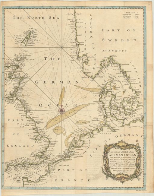
MapMaker: |
R.W. Seale
|
|
| |
| |
Subject: |
Northern Europe, North Sea |
|
| |
Period/Size: |
1745 / 18.7" x 14.8" (47.5 x 37.6 cm)
|
|
| |
Color: |
Colored
|
|
| |
Condition: |
(B) A nice impression, issued folding on a lightly toned sheet with a fleur-de-lis watermark, light offsetting, and narrow left margin. There are three short fold separations along the edges of the sheet that have been closed on verso with non-archival t (condition help) |
|
| |
Source: |
Mr. Tindal's Continuation of Mr. Rapin's History |
|
| |
References: |
Shirley (BL Atlases) G.RAP-2a #16. |
|
| |
|
|
| Sales Information |
| |
| |
Price: |
|
|
| |
| |
Offered by: |
Old World Auctions |
|
| |
Catalog: |
Auction No. 184 - Antique Maps, Charts, Atlases & Globes (9549) |
|
| |
Lot/Item #: |
467 |
|
| |
| |
Date: |
09/2021
|
|
| |
| |
|