| Item Detail |
| |
| |
MapMaker: |
Hans Kasper Arkstee & Hendrick Merkus
|
|
| |
| |
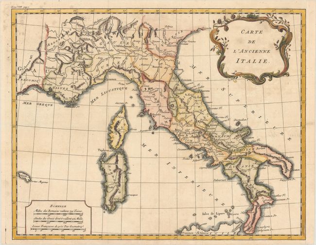
Subject: |
Italy |
|
| |
Period/Size: |
1770 / 12.0" x 15.3" (30.5 x 38.9 cm)
|
|
| |
Color: |
Colored
|
|
| |
Condition: |
(B+) A crisp impression on a bright sheet with the watermark of a small crown and the initials "IW," issued folding and now flattened with some small spots at top left. The right margin has been extended with period-correct paper to accommodate framing. (condition help) |
|
| |
Source: |
Histoire Universelle depuis le Commencement du Monde |
|
| |
References: |
|
|
| |
|
|
| Sales Information |
| |
| |
Price: |
|
|
| |
| |
Offered by: |
Old World Auctions |
|
| |
Catalog: |
Auction No. 184 - Antique Maps, Charts, Atlases & Globes (9549) |
|
| |
Lot/Item #: |
575 |
|
| |
| |
Date: |
09/2021
|
|
| |
| |
|