| Item Detail |
| |
| |
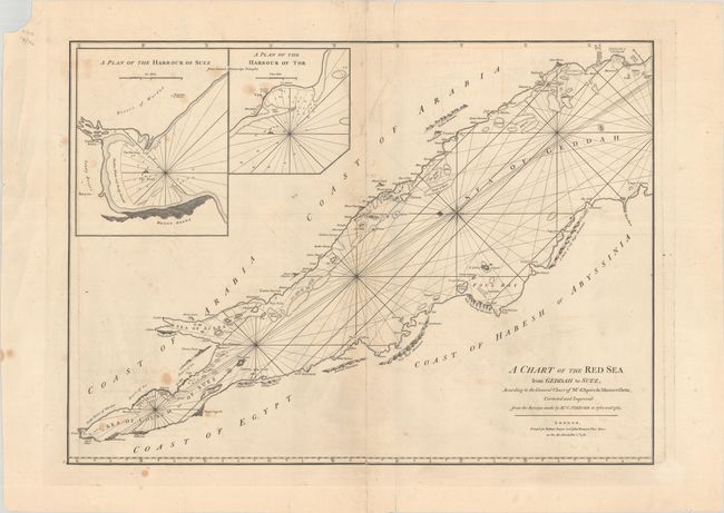
MapMaker: |
Robert Sayer & John Bennett
|
|
| |
| |
Subject: |
Red Sea |
|
| |
Period/Size: |
1781 / 19.5" x 26.9" (49.6 x 68.4 cm)
|
|
| |
Color: |
Black & White
|
|
| |
Condition: |
(B) There are light stains, offsetting, and several edge tears, including one that enters the map image at top. A vertical separation that runs the length of the map has been repaired on verso with old paper. (condition help) |
|
| |
Source: |
|
|
| |
References: |
|
|
| |
|
|
| Sales Information |
| |
| |
Price: |
|
|
| |
| |
Offered by: |
Old World Auctions |
|
| |
Catalog: |
Auction No. 184 - Antique Maps, Charts, Atlases & Globes (9549) |
|
| |
Lot/Item #: |
643 |
|
| |
| |
Date: |
09/2021
|
|
| |
| |
|