| Item Detail |
| |
| |
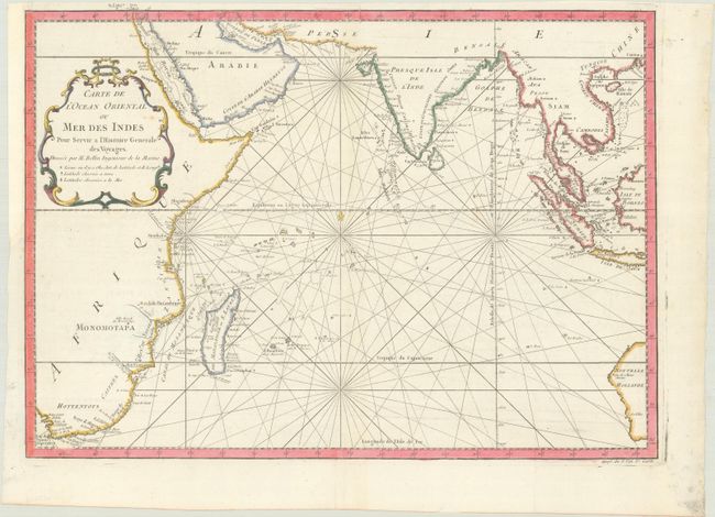
MapMaker: |
Jacques Nicolas Bellin
|
|
| |
| |
Subject: |
Indian Ocean |
|
| |
Period/Size: |
1760 / 13.5" x 19.0" (34.3 x 48.3 cm)
|
|
| |
Color: |
Colored
|
|
| |
Condition: |
(A) A bright sheet with a bunch of grapes watermark, issued folding and now flattened, with a binding trim at left that has been replaced with old paper. (condition help) |
|
| |
Source: |
Histoire Generale des Voyages |
|
| |
References: |
|
|
| |
|
|
| Sales Information |
| |
| |
Price: |
|
|
| |
| |
Offered by: |
Old World Auctions |
|
| |
Catalog: |
Auction No. 184 - Antique Maps, Charts, Atlases & Globes (9549) |
|
| |
Lot/Item #: |
701 |
|
| |
| |
Date: |
09/2021
|
|
| |
| |
|