Title:
“A New General Atlas, Comprising a Complete Set of Maps, Representing the Grand Divisions of the Globe, Together with the Several Empires, Kingdoms and States in the World...”
Map Maker:
Anthony Finley
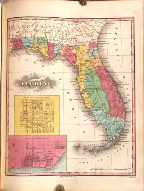
This is an important American published atlas, com... (full text available to subscribers)
| Item Detail |
| |
| |
MapMaker: |
Anthony Finley
|
|
| |
| |
Subject: |
Atlases |
|
| |
Period/Size: |
1832 / 14.1" x 11.3" (35.9 x 28.7 cm)
|
|
| |
Color: |
Colored
|
|
| |
Condition: |
(B+) The maps are in bold, full contemporary color with light occasional soiling and minor toning. The map of the eastern United States has chips along the fore-edge that have been replaced with cello tape, well away from the image. The map of Vermont h (condition help) |
|
| |
Source: |
|
|
| |
References: |
|
|
| |
|
|
| Sales Information |
| |
| |
Price: |
|
|
| |
| |
Offered by: |
Old World Auctions |
|
| |
Catalog: |
Auction No. 184 - Antique Maps, Charts, Atlases & Globes (9549) |
|
| |
Lot/Item #: |
792 |
|
| |
| |
Date: |
09/2021
|
|
| |
| |
|
Antique Maps - Valuation and Pricing, Descriptions, Resources |
|
Home |
Information |
Search |
Register |
Contact Us |
Site Map
Americana Exchange, Inc. © 1999 - 2024 Americana Exchange, Inc.. All rights reserved.
OldMaps.com, the OldMaps.com logo and
AMPR are service marks or registered service marks of Americana Exchange, Inc..
|