Title:
“A New Universal Atlas; Comprising Separate Maps of All the Principal Empires, Kingdoms & States Throughout the World: and Forming a Distinct Atlas of the United States...”
Map Maker:
Jeremiah Greenleaf
This important and complete atlas is the third edi... (full text available to subscribers)
| Item Detail |
| |
| |
MapMaker: |
Jeremiah Greenleaf
|
|
| |
| |
Subject: |
Atlases |
|
| |
Period/Size: |
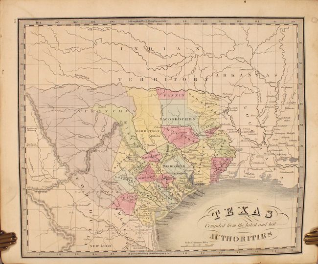
1843 / 14.7" x 12.4" (37.4 x 31.5 cm)
|
|
| |
Color: |
Colored
|
|
| |
Condition: |
(B+) The maps have nice impressions and are in full contemporary color with occasional light soiling and minor toning. Many of the maps are in "A" condition. Four maps are in "B" condition with a bit more soiling or foxing (western hemisphere, Louisiana (condition help) |
|
| |
Source: |
|
|
| |
References: |
Phillips (A) #784; cf. Rumsey #4850 (1840 edition). |
|
| |
|
|
| Sales Information |
| |
| |
Price: |
|
|
| |
| |
Offered by: |
Old World Auctions |
|
| |
Catalog: |
Auction No. 184 - Antique Maps, Charts, Atlases & Globes (9549) |
|
| |
Lot/Item #: |
794 |
|
| |
| |
Date: |
09/2021
|
|
| |
| |
|
Antique Maps - Valuation and Pricing, Descriptions, Resources |
|
Home |
Information |
Search |
Register |
Contact Us |
Site Map
Americana Exchange, Inc. © 1999 - 2024 Americana Exchange, Inc.. All rights reserved.
OldMaps.com, the OldMaps.com logo and
AMPR are service marks or registered service marks of Americana Exchange, Inc..
|