Title:
“View of the United States, Historical, Geographical, and Statistical; Exhibiting, in a Convenient Form, the Natural and Artificial Features of the Several States...”
Map Maker:
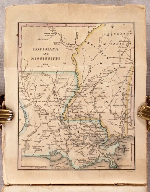
William Darby
This book is filled with information about the his... (full text available to subscribers)
| Item Detail |
| |
| |
MapMaker: |
William Darby
|
|
| |
| |
Subject: |
Geography Books |
|
| |
Period/Size: |
1828 / 6.1" x 3.8" (15.5 x 9.7 cm)
|
|
| |
Color: |
Colored
|
|
| |
Condition: |
(B) The folding maps have some light toning primarily where they fold into the text. Untrimmed text is moderately foxed with the Illinois/Missouri map and one page of text loose. Covers are worn and stained. (condition help) |
|
| |
Source: |
|
|
| |
References: |
Howes #D-67; Sabin #18535. |
|
| |
|
|
| Sales Information |
| |
| |
Price: |
|
|
| |
| |
Offered by: |
Old World Auctions |
|
| |
Catalog: |
Auction No. 184 - Antique Maps, Charts, Atlases & Globes (9549) |
|
| |
Lot/Item #: |
806 |
|
| |
| |
Date: |
09/2021
|
|
| |
| |
|
Antique Maps - Valuation and Pricing, Descriptions, Resources |
|
Home |
Information |
Search |
Register |
Contact Us |
Site Map
Americana Exchange, Inc. © 1999 - 2024 Americana Exchange, Inc.. All rights reserved.
OldMaps.com, the OldMaps.com logo and
AMPR are service marks or registered service marks of Americana Exchange, Inc..
|