| Item Detail |
| |
| |
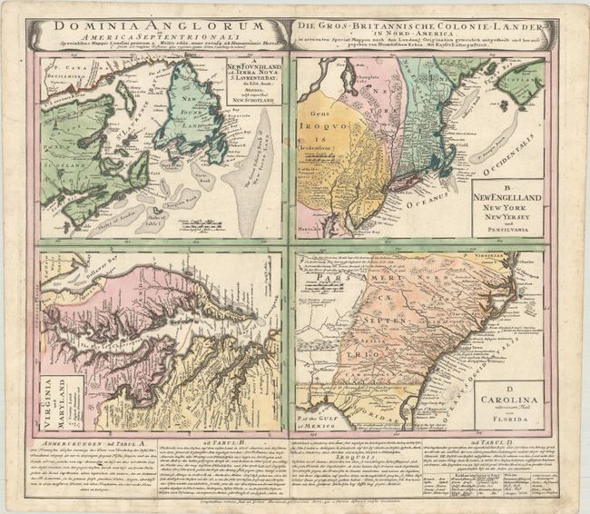
MapMaker: |
Homann Heirs
|
|
| |
| |
Subject: |
Colonial Eastern United States & Canada |
|
| |
Period/Size: |
1740 / 19.8" x 21.9" (50.3 x 55.7 cm)
|
|
| |
Color: |
Colored
|
|
| |
Condition: |
(B+) A sharp impression with a couple small stains near the centerfold, some stray ink marks in the Carolina map, and some manuscript notations in the Virginia and Maryland map. Short edge tears in the bottom blank margin have been archivally repaired on (condition help) |
|
| |
Source: |
|
|
| |
References: |
Cumming (SE) #233; Kershaw #579; McCorkle #740.1; Portinaro & Knirsch #123; Sellers & Van Ee #83. |
|
| |
|
|
| Sales Information |
| |
| |
Price: |
|
|
| |
| |
Offered by: |
Old World Auctions |
|
| |
Catalog: |
Auction No. 185 - Antique Maps, Charts, Atlases & Globes (9550) |
|
| |
Lot/Item #: |
127 |
|
| |
| |
Date: |
11/2021
|
|
| |
| |
|