| Item Detail |
| |
| |
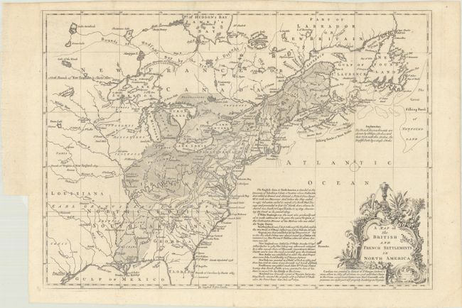
MapMaker: |
John Lodge
|
|
| |
| |
Subject: |
Colonial Eastern United States & Canada |
|
| |
Period/Size: |
1755 / 11.0" x 15.3" (28.0 x 38.9 cm)
|
|
| |
Color: |
Black & White
|
|
| |
Condition: |
(A) A crisp impression issued folding, now flat, on watermarked paper. There is a binding trim in the left margin with an associated tear that just touches the neatline and has been closed on verso with archival materials. (condition help) |
|
| |
Source: |
Gentleman's Magazine |
|
| |
References: |
Jolly #GENT-91; McCorkle #755.24; Sellers & Van Ee #5. |
|
| |
|
|
| Sales Information |
| |
| |
Price: |
|
|
| |
| |
Offered by: |
Old World Auctions |
|
| |
Catalog: |
Auction No. 185 - Antique Maps, Charts, Atlases & Globes (9550) |
|
| |
Lot/Item #: |
130 |
|
| |
| |
Date: |
11/2021
|
|
| |
| |
|