| Item Detail |
| |
| |
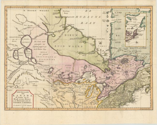
MapMaker: |
Isaac Tirion
|
|
| |
| |
Subject: |
Colonial Northeastern United States & Canada |
|
| |
Period/Size: |
1769 / 12.3" x 17.3" (31.3 x 44.0 cm)
|
|
| |
Color: |
Colored
|
|
| |
Condition: |
(B+) Issued folding on a bright sheet with minor offsetting and professional repairs to several separations along the horizontal fold, with a small amount of the image skillfully replaced in facsimile. (condition help) |
|
| |
Source: |
Nieuwe en Beknopte Hand-Atlas |
|
| |
References: |
Kershaw #375; McCorkle #769.2; Shirley (BL Atlases) T.TIR-2a. |
|
| |
|
|
| Sales Information |
| |
| |
Price: |
|
|
| |
| |
Offered by: |
Old World Auctions |
|
| |
Catalog: |
Auction No. 185 - Antique Maps, Charts, Atlases & Globes (9550) |
|
| |
Lot/Item #: |
145 |
|
| |
| |
Date: |
11/2021
|
|
| |
| |
|