| Item Detail |
| |
| |
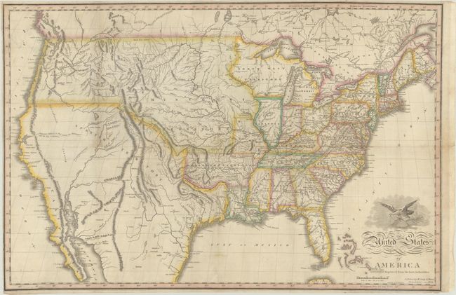
MapMaker: |
Hugh Anderson
|
|
| |
| |
Subject: |
United States |
|
| |
Period/Size: |
1824 / 16.5" x 24.9" (42.0 x 63.3 cm)
|
|
| |
Color: |
Colored
|
|
| |
Condition: |
(B+) Issued folding on thin banknote-style paper, now flat, with light soiling. A 5" tear at left and a few splits along the folds have been professionally repaired on verso. (condition help) |
|
| |
Source: |
|
|
| |
References: |
Wheat (TMW) #360. |
|
| |
|
|
| Sales Information |
| |
| |
Price: |
|
|
| |
| |
Offered by: |
Old World Auctions |
|
| |
Catalog: |
Auction No. 185 - Antique Maps, Charts, Atlases & Globes (9550) |
|
| |
Lot/Item #: |
154 |
|
| |
| |
Date: |
11/2021
|
|
| |
| |
|